

Weekly Weather Watch: Sunday, October 22nd, 2023
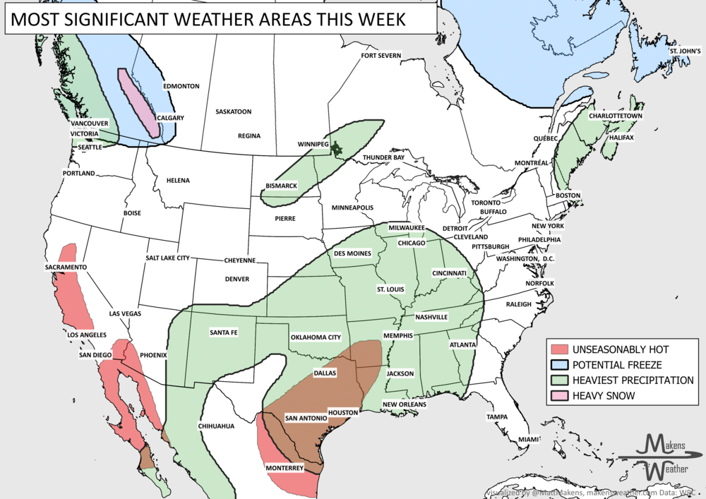
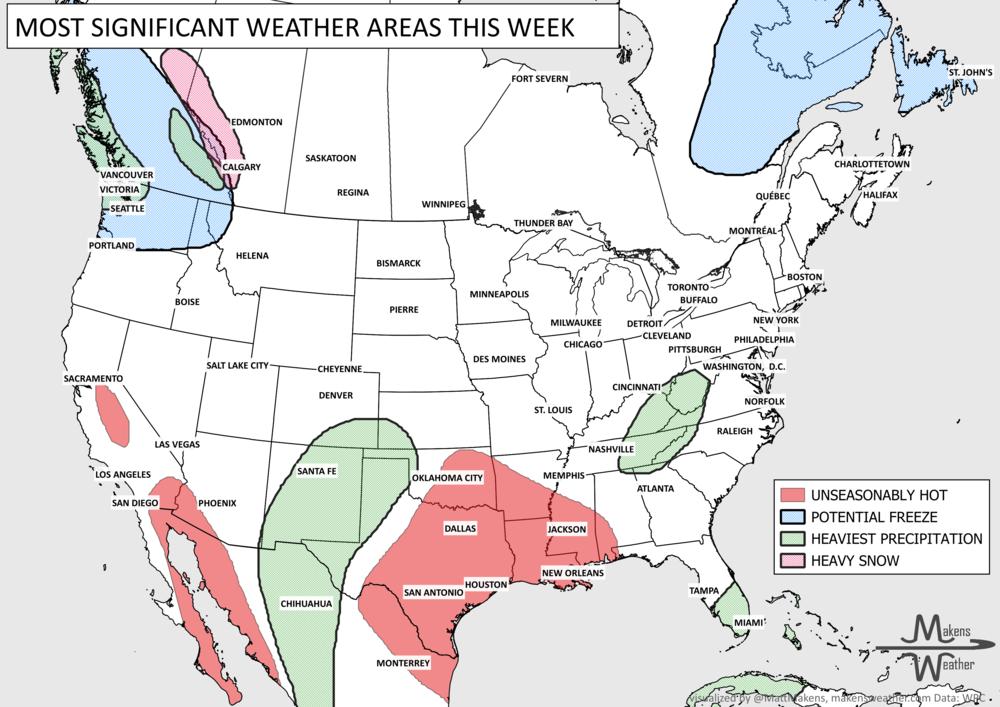
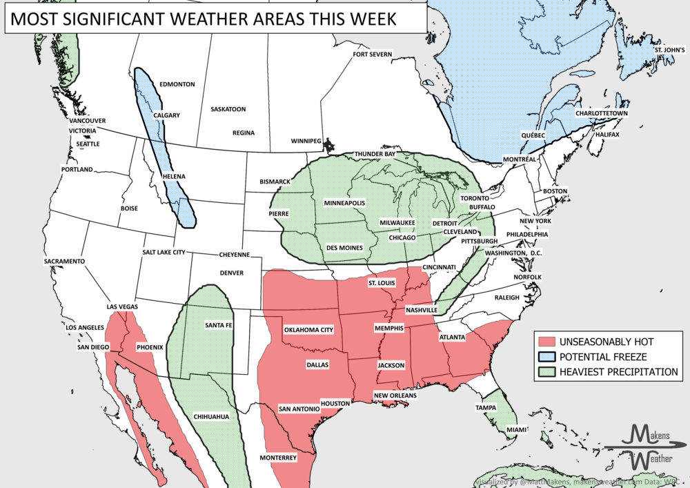
The end of October is in sight, and a considerable system will develop to impact parts of the country next week. We’ll discuss that in the next Weather Watch. For this week, we have a system to pull in some moisture, particularly in the Central US from Texas to the Great Lakes. Let’s start there. The risk of too much rainfall is possible this week across the Central U.S. Here are the things driving weather headlines this week:

Tropical moisture will collide with a Western storm system as it moves into the central states. A lot of water will fall in sections of the plains. There will be parts of this region that receive more than two to three inches of total rainfall.

Some of that total precipitation shown above will be in the form of snow. For the Northern Plains, some will receive their first snowfall of the season during the week. Granted, ground temperatures are still warm, so the total accumulations of 5 to 10 inches won’t stick long on the plains. Most of this falls on Tuesday.

As this system creates a lot of rain on the leading edge, clearly it needs some cold for the back side of the storm to create that snow. There’s a widespread freeze coming after the storm.

I mentioned some of the moisture flowing into the country this week is tropical in nature. This is caused by Tropical Storm Norma over the Gulf of California. This is the source of lots of water for this week. Other tropical elements are churning. Hurricane Tammy is over the Leeward Islands now and will meander toward Bermuda this week. Other than Norma, no imminent tropical impact is expected on the U.S.
So, there you go. Those are the big-ticket items driving the weather headlines across the country this week. Next week may be quite active depending on the next storm system that’ll become the Halloween Storm… Have a great week! - Matt
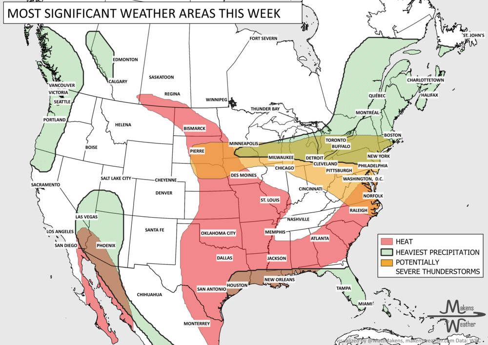
Pacific tropical moisture will drive one of the bigger weather stories this week as it gets pulled north into a slow-moving storm over the Southwest. New Mexico and western Texas face the greatest flash-flood threat early in the week, before heavy rain expands across the Southern Plains, Central Plains and Midwest. Some areas could pick up 3 to 6 inches of rain, with locally higher totals. The wet pattern won’t end quickly either, with the threat gradually shifting east toward the Mississippi and Tennessee Valleys later this week and into the weekend. Meanwhile, the Nor’easter affecting New England is winding down, while late-season heat hangs on across southern Texas and eventually builds across parts of the West.