

Weekly Weather Watch: Monday, November 27th, 2023
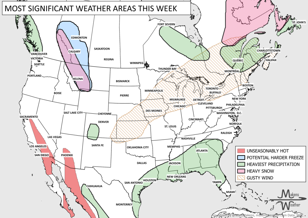
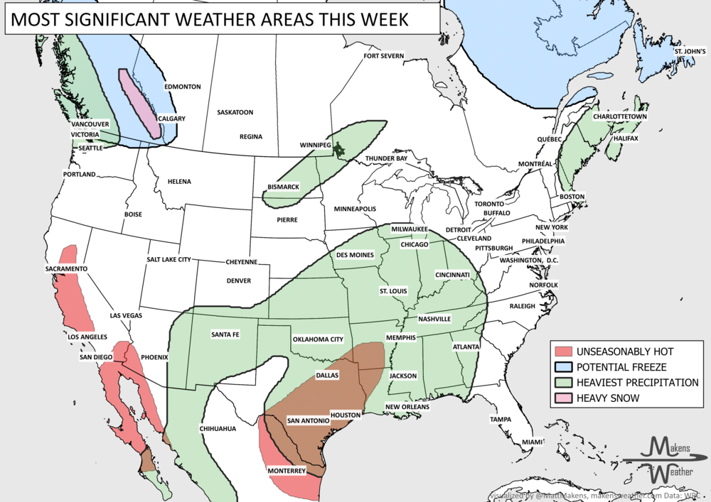
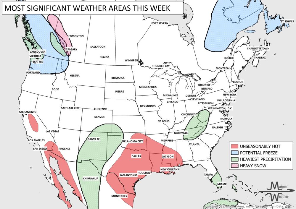
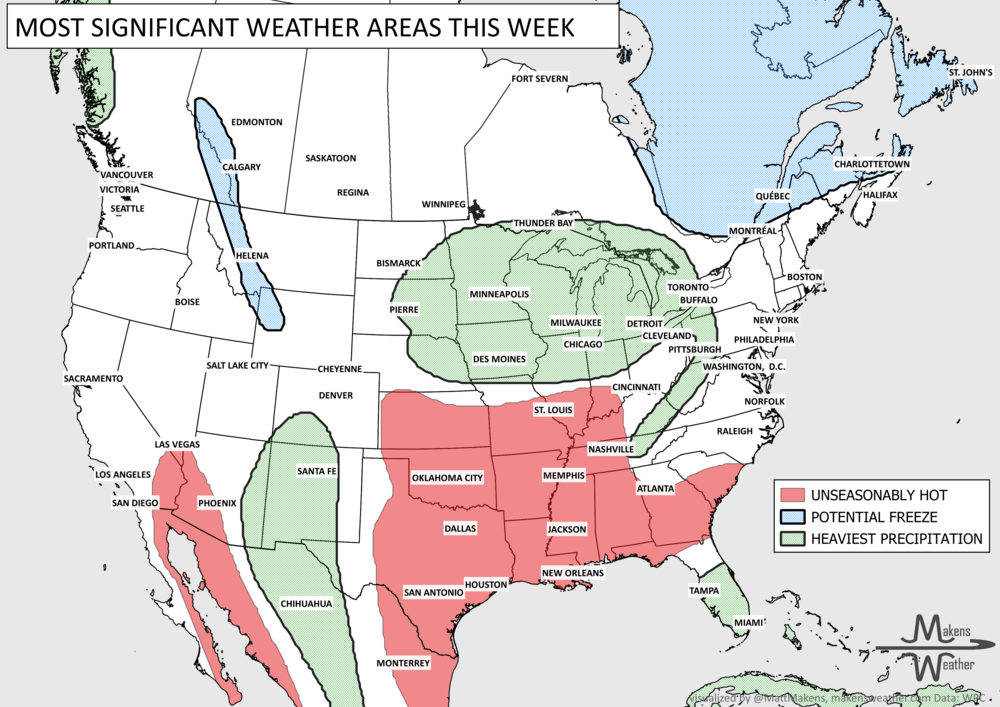
I hope you and your stomachs have recovered after Thanksgiving, it’s good training for the amount of sweets coming our way through the Holidays. Speaking of sweets, perhaps some water for the West Coast and Southeast U.S. sound sweet to you. That’s most of the discussion in this week’s Weather Watch, a brief look at the headlines coming through next weekend.
A snow… err, slow start to the season… total snowfall for the West so far this season is less than impressive. It is early in the season, so don't worry, but we’d like to see higher values on the snowpack map for skiers and water resources. Based on the extended forecast, PR folks in the ski industry need some creative publicity through the holidays.

We have some chances to add snow and areas of heavy rain this week. An animation to show you where snow and rain will fall during the next ten days is shown here.

On the way, yes some snow, but not gangbusters… the week’s snowfall forecast is shown here. The Rockies, Cascades, and Sierras will be adding to the snowpack as parts of the Great Lakes see some possible lake-effect snow.

That’s not to say we will be as dry as my humor; that was just snowfall. Let me show you total water and that is a bit more of a humdinger visual. Total precipitation exceeds four to six inches for the West and Gulf Coast this week.

If precipitation like that in drought areas doesn’t give you the chills, the temperatures probably will, but not for long. We’ve had some cold weather over the Midwest and East this week; however, a warming trend will kick in as we get into December. More on that to our members, who will receive their December monthly weather outlooks in a few days. Don’t feel left out; you can sign up for those here: https://www.makensweather.com/members
That’s it for headlines this week, primarily impressive rainfall totals! Have a good week. - Matt.
The weather pattern is about to make a pretty sharp turn across the country. California starts the week with unusual October heat, including highs well into the 90s and even lower 100s in the Central Valley. Meanwhile, much cooler fall air has reached the Great Lakes and Northeast. The Gulf Coast and Southeast stay unsettled, and there’s that record to watch: a tropical depression is likely to develop over the Gulf this week and could strengthen as it moves northeast. If it becomes a hurricane after the 8th, 2026 will have the latest-first hurricane in the Atlantic Basin record.