

Weekly Weather Watch: Monday, November 20th, 2023
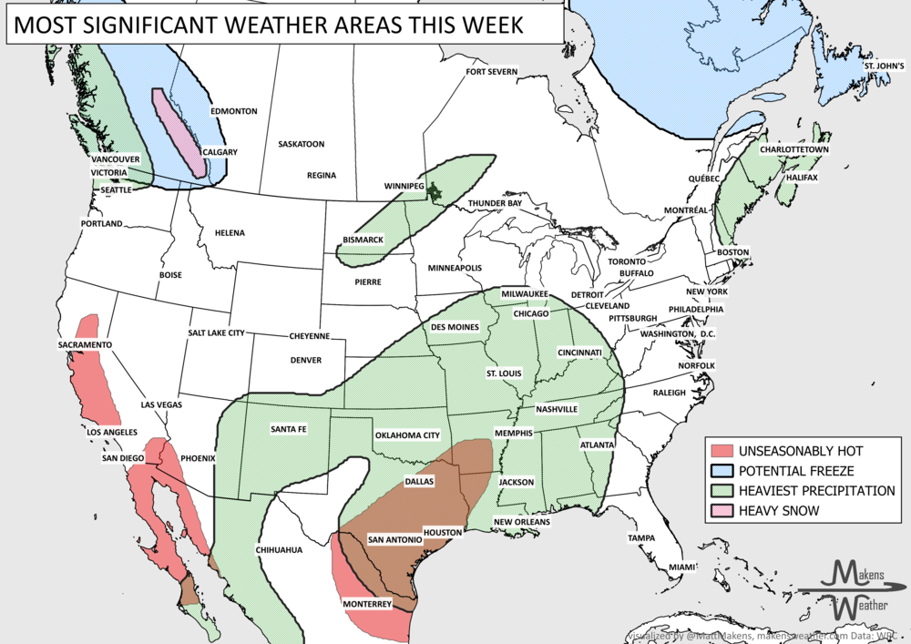
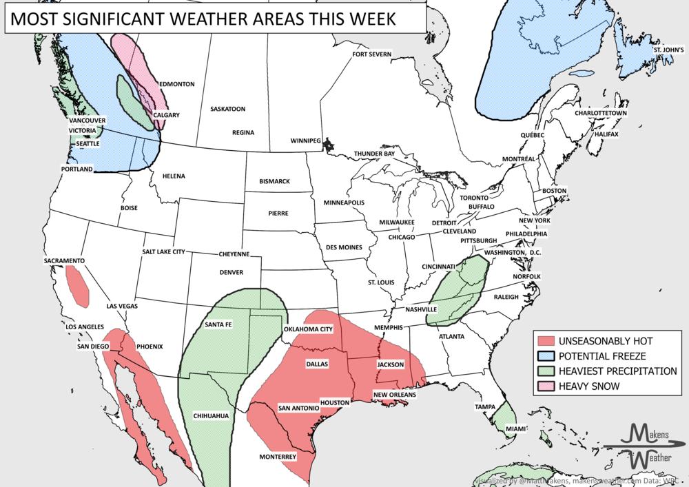
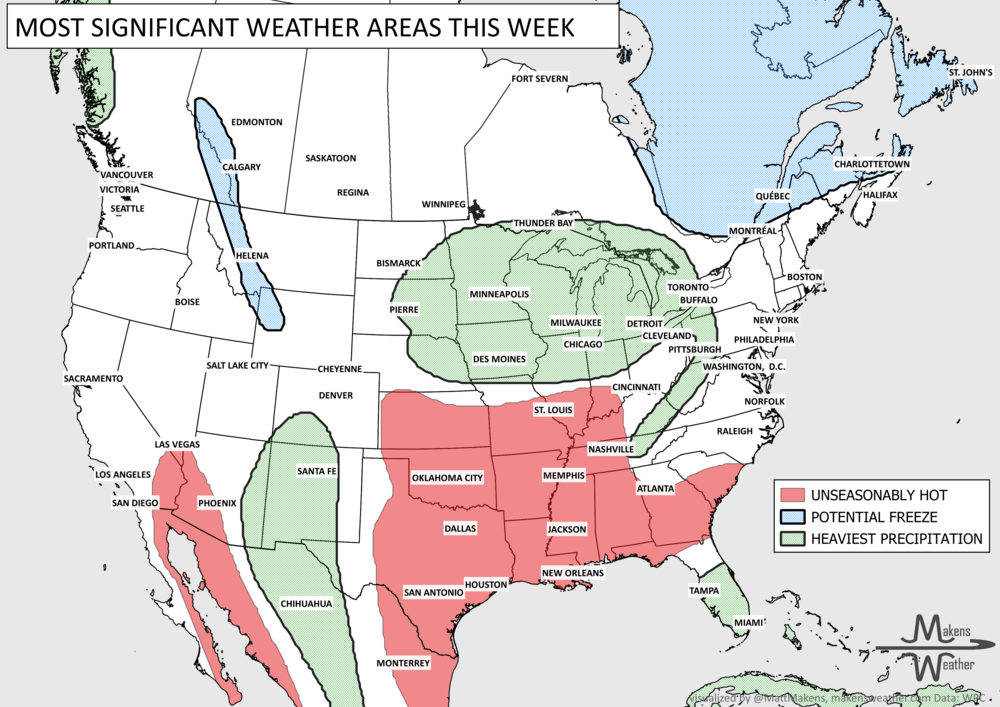
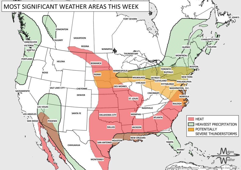
Thanksgiving or delaysgiving as the case may be this year. A couple of storm systems will spread impact to travelers later this week, followed by a strong push of cold temperatures to cover a large portion of the U.S. by the weekend. Here are your weather headlines for the week ahead. Before Thanksgiving, active weather will hit the Eastern U.S., while quieter weather returns to the West. Severe thunderstorms are possible across the Central Gulf Coastal region before heavy precipitation moves east. From Thanksgiving through the weekend, sharply colder weather spreads across the country, with a freeze possible as far south as Southern Texas.
Got the time? Sure do; here’s a timeline animation that shows areas of rain and snow across the nation during the next ten days.
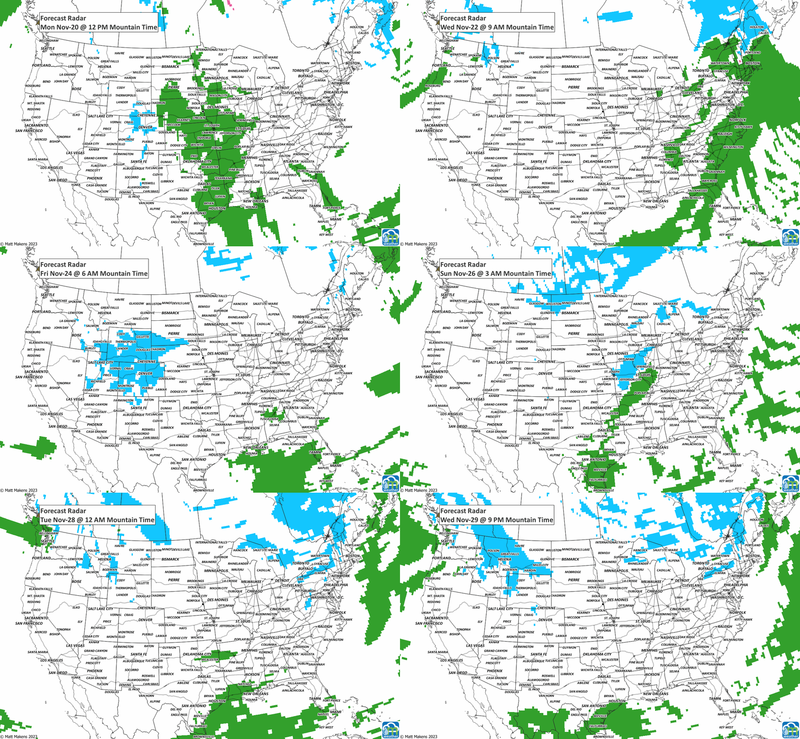
The early frames of that animation show rainfall for the south tonight through Tuesday. Part of that may come from damaging thunderstorms; there’s a risk of severe weather here.

Do you like your turkey moist or dry? Well, many of us have a soggy outlook during the next week. Total precipitation is shown here. Total precipitation exceeds three inches for parts of the East.

Take is snow…err…slow. Travelers in the Rockies and nearby high plains will have periods of heavy snowfall later this week to slow the drive.

Much of that snow will come late Thanksgiving through Friday into Saturday. Cold temperatures are driving that snow chance as far south as West Texas. In terms of cold, look at how many of us have high odds of hitting freezing or colder during the week:

The cold will focus primarily on the Eastern U.S. next week, but I’ll have more on that in the next Weekly Weather Watch. Have a safe and Blessed Thanksgiving! - Matt
Pacific tropical moisture will drive one of the bigger weather stories this week as it gets pulled north into a slow-moving storm over the Southwest. New Mexico and western Texas face the greatest flash-flood threat early in the week, before heavy rain expands across the Southern Plains, Central Plains and Midwest. Some areas could pick up 3 to 6 inches of rain, with locally higher totals. The wet pattern won’t end quickly either, with the threat gradually shifting east toward the Mississippi and Tennessee Valleys later this week and into the weekend. Meanwhile, the Nor’easter affecting New England is winding down, while late-season heat hangs on across southern Texas and eventually builds across parts of the West.