
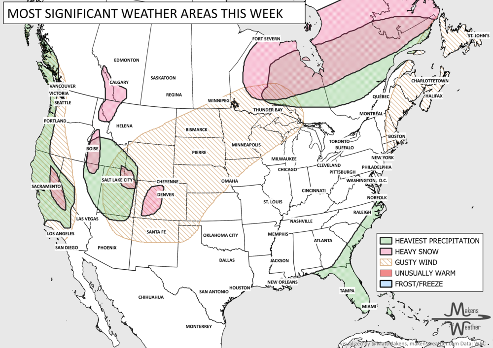
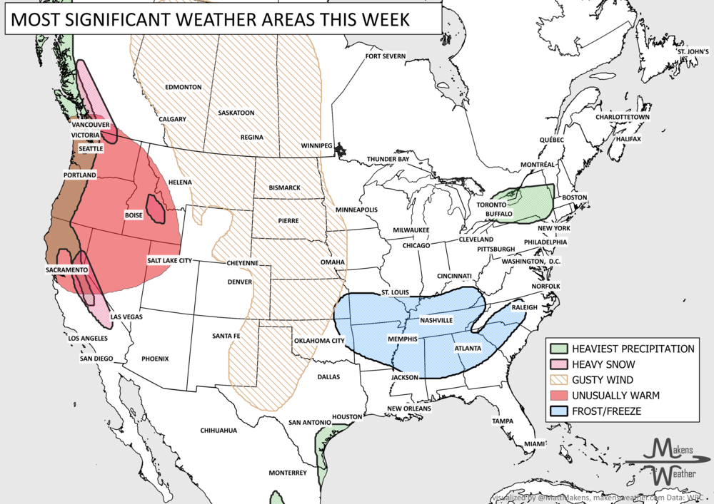
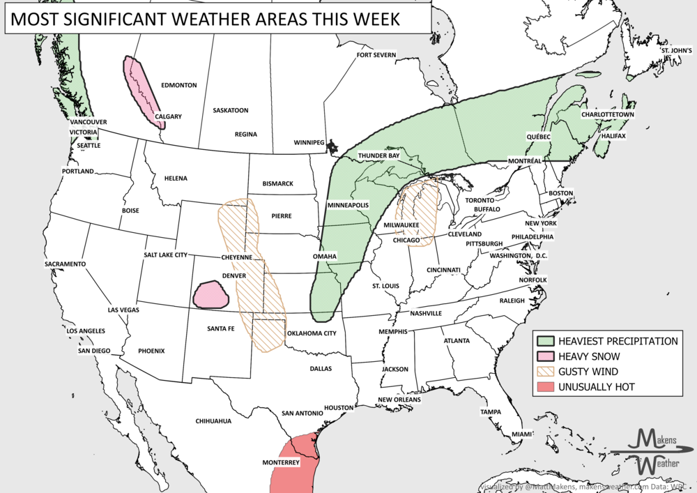
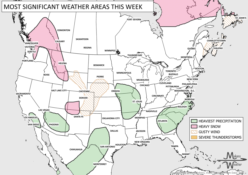
Weekly Weather Watch: Sunday, September 17th, 2023
THANK YOU to AFIA for having me as a speaker at their Liquid Feed Symposium in Louisville, KY, this past week. I’ve never been to that area, and we visited bucket-listers for me - Churchill Downs, Woodford, Jim Beam, and Buffalo Trace (tough work trip, I know ;) ), and I did see signs of fall with some of the trees there beginning to change color. During the multi-day event, one recurring theme was raised: the drought for Texas to the Central U.S. and wanting to know when El Niño would kick in to bring those areas relief. The drought has been a big issue for the Southern Plains this summer, which is not to say it isn’t an issue elsewhere. In fact, you can see the drought has quite a footprint across the country.

AH, DRINK IT IN: although helpful - it doesn’t fix the ongoing drought issues - there was quite a bit of rainfall this past week across the country. Here’s a look at what was observed.Heavy rainfall for parts of Colorado, Kansas, Oklahoma, Texas and along the Eastern Seaboard.

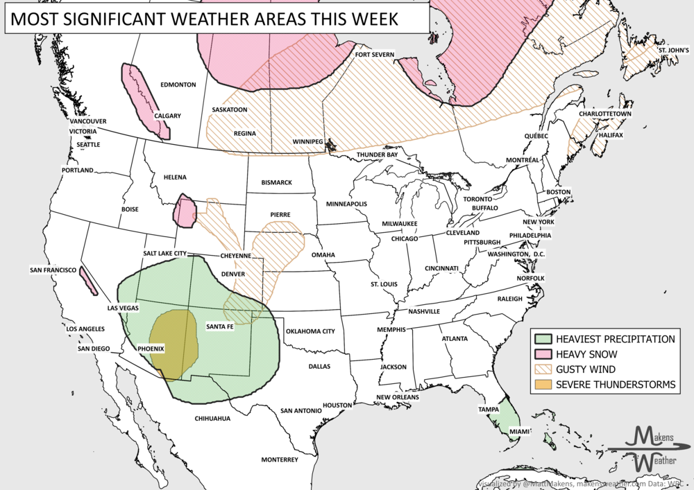
For the next week, we have additional heavy rainfall areas, but you can see how those shift to new regions compared to this past week. We will turn on the spigot for the Northern Plains this time. Meanwhile, parts of Colorado to the Southern Plains will have a “drier” week - relative to last. 3-inch bullseye there in southern Kansas and Northern Oklahoma, as well as along the Southeast Coast.

Who turned off the heat? I’ll take the credit for that even though it is really part of the seasonal change and seeing some more frequent systems passing across the country now. Very few record temperatures will be set this week, as the extreme heat is put on a back-burner (as it were) for once in a long long time.
LEE-AVE IT ALONE: Hurricane Lee sure brought a lot of attention last week, and now as a post-tropical system is impacting the Maritimes. Thankfully, Lee, Margot, and Nigel will leave their biggest impacts on the oceans rather than directly slamming into populated places. During this coming week, we may see a system try to form off of Africa and a system west of Mexico. The one in the Pacific Ocean needs to be watched for a) if it develops, how strongly, and b) potential impact, eventually, on Hawaii.
ON THE SUNNY SIDE: The Sun had quite an explosive event, which will send a solar storm toward the country early this week. The northern lights may be seen from a lot of states by Tuesday. Send in any reports/photos if you think about it, to me: matt@makensweather.com

If you aren’t on the mailing list yet, please sign up at www.makensweather.com or send me a note to add you to the Weekly Weather Watch email list, matt@makensweather.com. Have a great week! - Matt.
Florida's Atlantic Coast faces the greatest immediate flooding concern, with heavy rain continuing through midweek and possibly into the weekend. In the West, repeated Pacific storms will bring beneficial moisture but also heavy Sierra Nevada snow, gusty winds, and travel disruptions. The next forecast question is whether a developing coastal storm tracks close enough to bring more widespread impacts along the East Coast this weekend.