


Weekly Weather Watch: Wednesday, November 20th, 2024
Heavy rain from an atmospheric river event brings 12 to 18 inches of rain to far northern California and southwest Oregon. Meanwhile, a storm system in the northern Plains will bring blizzard conditions to North Dakota and northwestern Minnesota. Heavy snow is expected to spread across parts of the central Appalachians starting Thursday, with another round of snowfall possible in Pennsylvania and nearby areas into Friday. Wind with heavy precipitation to hit British Columbia, snowfall for Alberta, Saskatchewan and Manitoba, wind in Quebec, and rain for parts of the Maritimes. Those are the biggest impact areas in this week’s weather briefing, but here are some other notables.
HEADLINERS:
Moderate risk of much below normal temperatures across parts of the Northern Plains, Thu-Sat, Nov 28-Nov 30.
Slight risk of much below normal temperatures across parts of the Northern Plains and Upper Mississippi Valley, Thu-Wed, Nov 28-Dec 4.
Slight risk of heavy precipitation for parts of the Ohio, Tennessee, and Middle and Lower Mississippi Valleys, and Southern Appalachians, Thu, Nov 28.
Slight risk of periods of heavy snow including Lake Effect snow across parts of the Ohio Valley, Great Lakes and Northeast, Thu-Sat, Nov 28-30.
Slight risk of episodic high winds across many parts of the eastern CONUS, Southern Plains, and Middle and Lower Mississippi Valley, Thu-Sat, Nov 28-30.


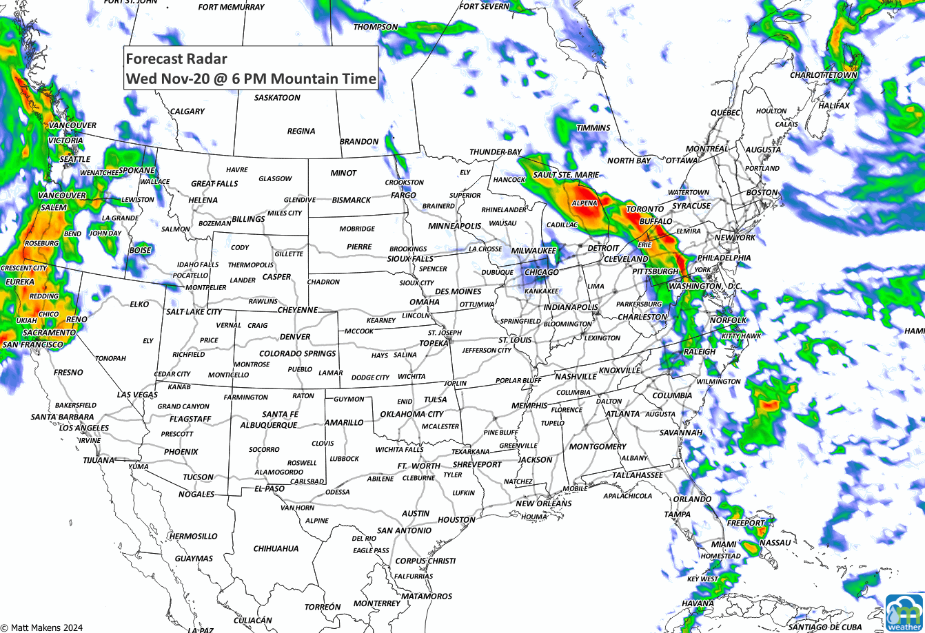
ON THE RADAR:
IN THE GAUGES:
For Northern California, storm total rainfall may reach as high as 12-18", with dangerous flash flooding, rock slides, and debris flows likely.

GRAB A RULER:
heavy wet snow is expected for the Cascades and far northern California associated with the Atmospheric River events. Heavy snowfall will also cover the Central to Northern Rockies, with snowfall stretching across Canada.

RECORDS MADE TO BE BROKEN:

TROPICAL TIDINGS:
Nothing imminent at this time.
ARE YOU CIRRUS?!
On this day in weather history
1944 "Darkness at Noon." After a decade of drought, dust storms frequented Australia. On this day a thick dust blanketed Mildura for eight hours, and the railway lines to Balranald and Moulamein were blocked by sand.
1979 A blizzard struck Cheyenne, WY producing a record 19.8 inches of snow in 24 hours, and a record total of 25.6 inches in 40 hours. Strong winds created huge drifts stopping all transportation.
A prolonged and dangerous heat wave will dominate the weather story this week as much of the central and eastern United States experiences some of the hottest weather of the year. Heat index values above 100 degrees will become widespread, with some communities seeing readings between 105 and 115 degrees and little relief at night. At the same time, several rounds of severe thunderstorms are expected from the High Plains through the Upper Midwest and Northeast, bringing the threat of damaging winds, large hail, and localized flash flooding. Out West, cooler-than-normal temperatures will continue while dry conditions keep wildfire concerns elevated across parts of the Four Corners and Great Basin. Air quality is an issue across Alberta to Quebec due to wildfire smoke. Heavy precipitation is possible from far eastern Saskatchewan to far western Manitoba.