
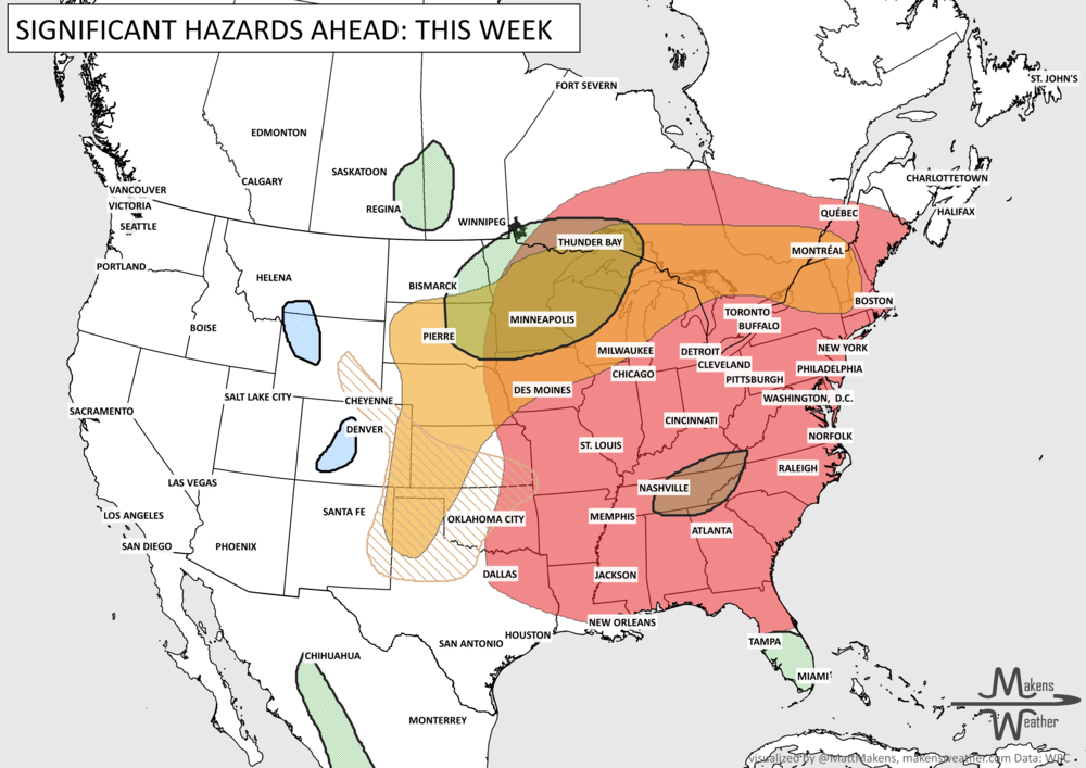
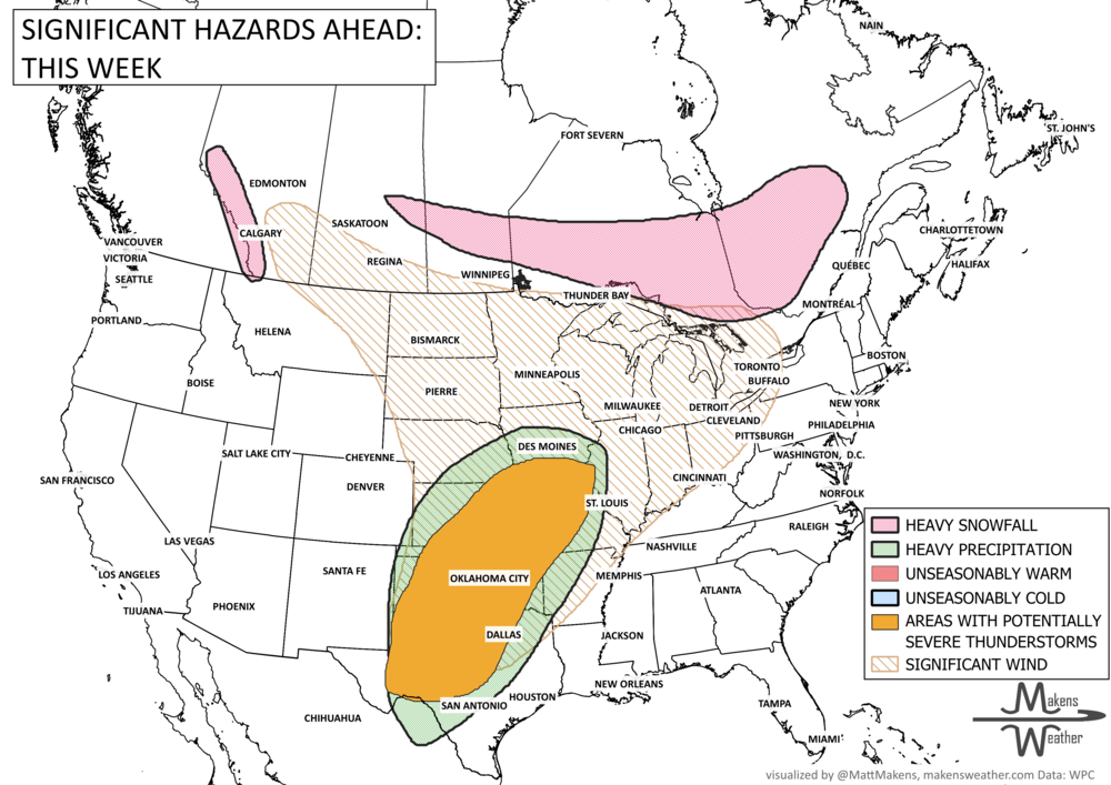
A slow-moving frontal boundary will keep Florida unsettled with periods of heavy rain and thunderstorms through midweek, raising localized flooding concerns—especially along the east coast. At the same time, drier air and gusty winds will elevate fire weather risks across parts of the Southeast, particularly from the Florida Panhandle into Georgia. Elsewhere, an active spring pattern continues with storm chances building across the Central Plains, while a strong Kona Low brings widespread impacts to Hawaii through the weekend. Cooler air lingers across the northern U.S. before a gradual warming trend develops late week into the weekend.
Read More
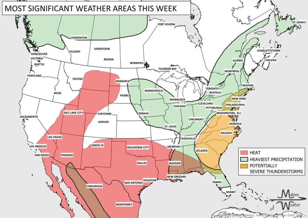
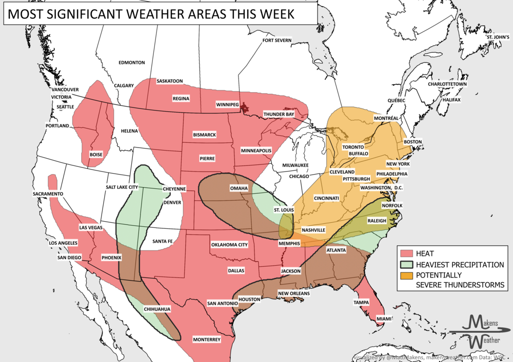
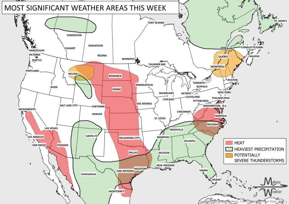
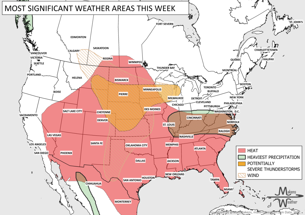
The weather pattern across the United States and Canada remains highly active this week, with two major stories dominating the forecast. Dangerous, long-lasting heat continues across much of the South before expanding into the western United States by the weekend. At the same time, repeated rounds of thunderstorms will bring the threat of flash flooding and severe weather from the Mid-Atlantic and Northeast to parts of the Midwest and Gulf Coast. Residents across these regions should stay weather-aware as heavy rain, damaging winds, and dangerous heat create multiple hazards over the coming week.