
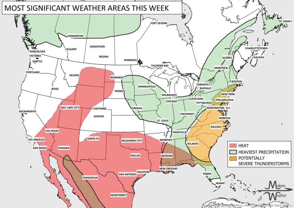
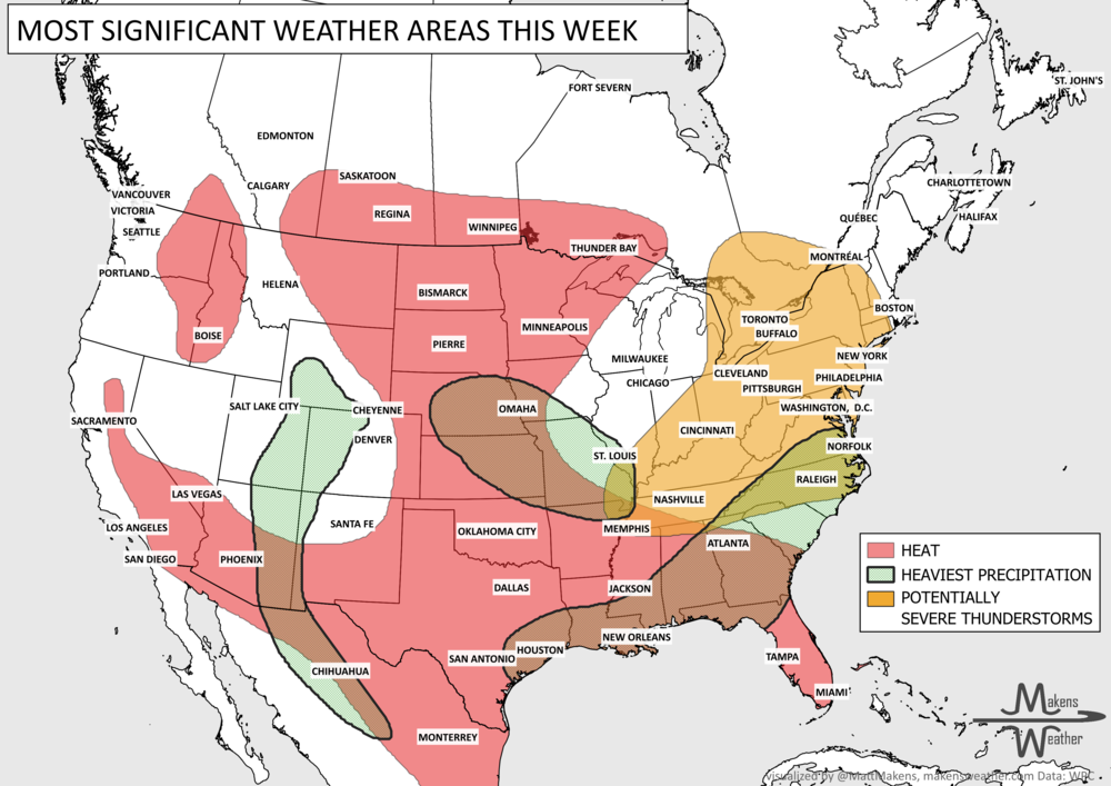
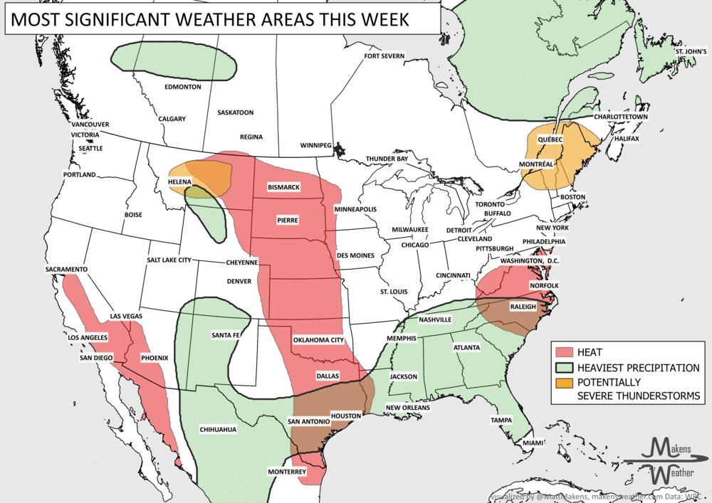
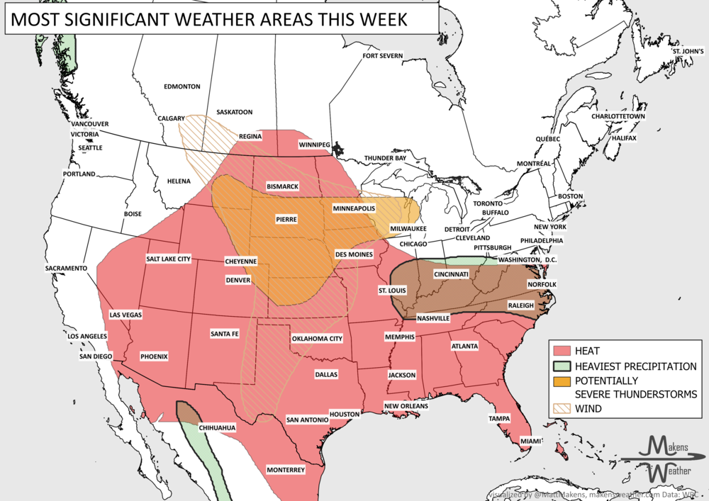
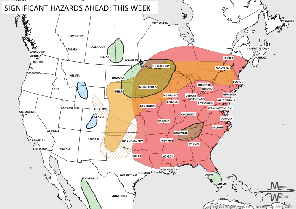
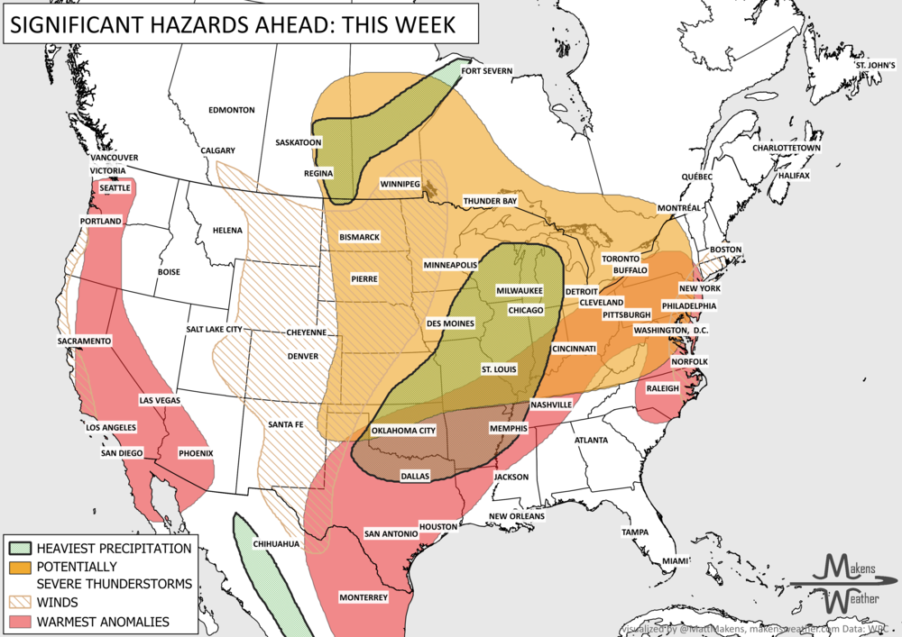
An active and impactful weather pattern is setting up across much of North America through next week. Multiple rounds of severe thunderstorms are expected from the eastern Canadian Prairies, U.S. Plains into the Mississippi Valley, bringing the risk of damaging winds, large hail, and tornadoes. Heavy rainfall may lead to localized flooding from the Northern Plains to the Southeast, while wildfire concerns continue across the Four Corners region. At the same time, summer heat is building, with the East experiencing its hottest temperatures of the season late this week before above-average warmth expands westward during the weekend.
Read More
The weather pattern across the United States and Canada remains highly active this week, with two major stories dominating the forecast. Dangerous, long-lasting heat continues across much of the South before expanding into the western United States by the weekend. At the same time, repeated rounds of thunderstorms will bring the threat of flash flooding and severe weather from the Mid-Atlantic and Northeast to parts of the Midwest and Gulf Coast. Residents across these regions should stay weather-aware as heavy rain, damaging winds, and dangerous heat create multiple hazards over the coming week.