

Weekly Weather Watch: Sunday, August 27, 2023
The tropics are alive and well, tropical cyclones, that is. This week will focus on the remnants of past storms and the impactor about to hit Florida and the Southeast. Heat has been an issue for a lot of folks this summer. Although there is some relief this week, next week the temperatures soar again - and spread into the Midwest.
TROPICAL TURNOUT: This past week, Hurricane Hilary spread devastating impacts to the Southwest with flooding and debris flows. That moisture spread northward toward the Northern Rockies. Remnants of Harold spread rains from South Texas to New Mexico into Colorado and Wyoming. BREAKING: Tropical Storm Idalia formed Sunday morning near the Yucatan and has eyes on Florida and the Southeast. From the NHC:
Observations from a NOAA Hurricane Hunter aircraft indicate that Tropical Depression Ten has strengthened into Tropical Storm Idalia. The maximum winds are estimated to be 40 mph (65 km/h) with higher gusts.
There is also Hurricane Franklin in the Atlantic, which will curl away from the U.S. mainland. Here’s a view of the forecast for both:

Idalia will impact Florida for the next several days, with possible landfall on Wednesday (based on today’s data). Follow the NHC’s website and your local weather expert, and I recommend Brian Shields out of Orlando for the latest on the tropics.
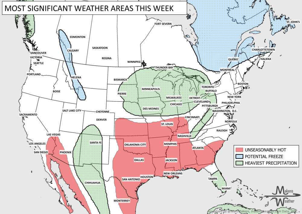
BRING ON THE RAIN: Or, maybe not so much! Areas from Tennessee to the Southeast will be catching a combination of impacts this week. Early on, a slow moving system will drench parts of Tennessee to Georgia with rainfall heavy enough to create flooding. Then, eyes on Idalia as that tropical cyclone spreads heavy moisture toward the end of the week. For the Southwest, Rockies, and Northwest there will be some rain showers, too. For the majority of the Plains, we don’t have a lot of rain to hang our hat on this week.

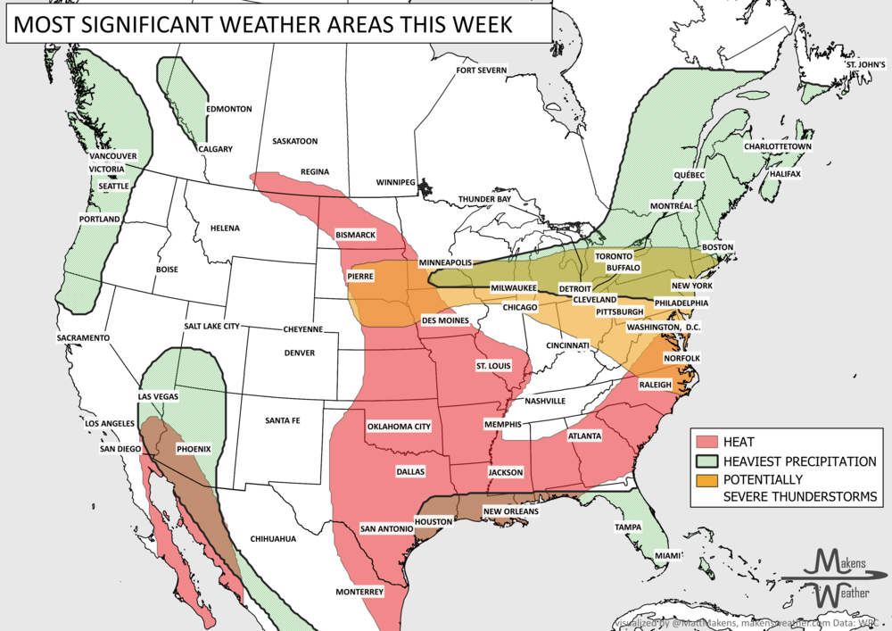
IT’S NOT THE HEAT, IT’S THE HUMIDITY: Cliché, and we know it’s the heat. Although for the far Southern U.S., today and tomorrow will set record high temperatures and humidity will create heat indices that are extreme. The Southwest will have some heat too, but (more cliché) it’s a dry heat. For the rest of the country, temperatures will fluctuate around their seasonal norms. Do be aware, however, of heat impacts spreading back throughout the Central U.S. next week!


That covers the tropics and heat, our two biggest threats this week. CRYSTAL BALL: The next monthly outlook covers September, and I’ll have that published in a few days. If you haven’t signed up to receive my monthly outlooks, you can set up those emails right here.
Monthly member services allow you access to the Members Only monthly weather and agriculture outlooks.
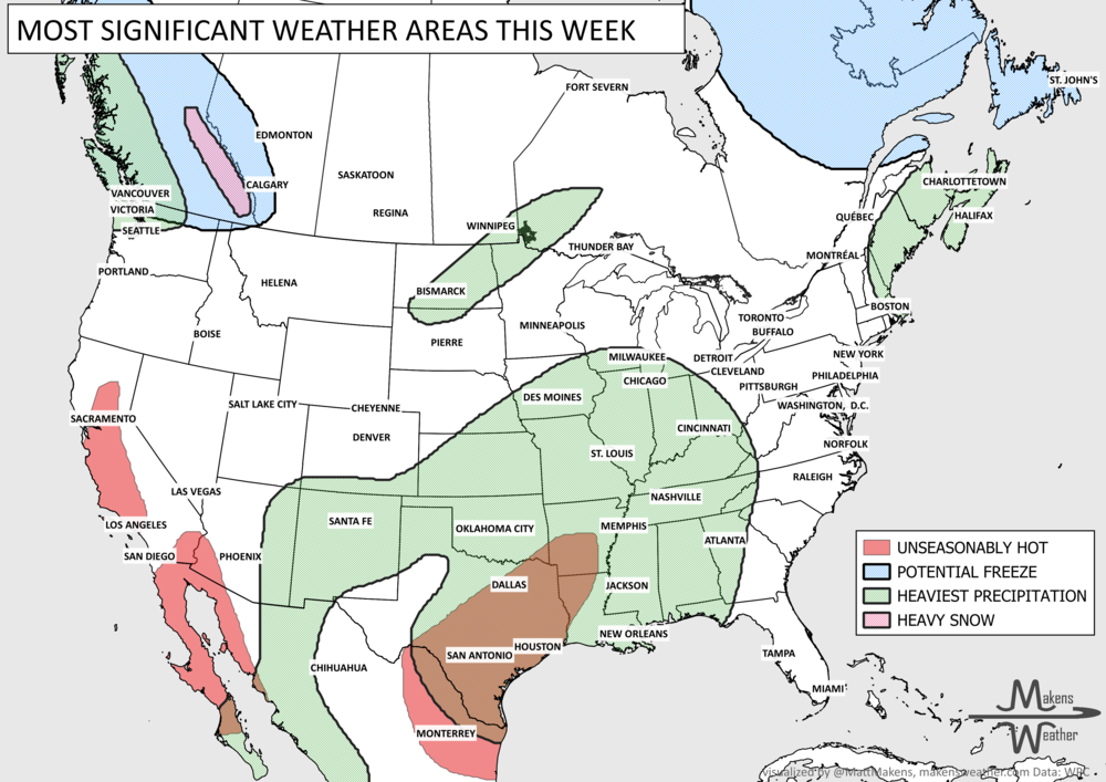
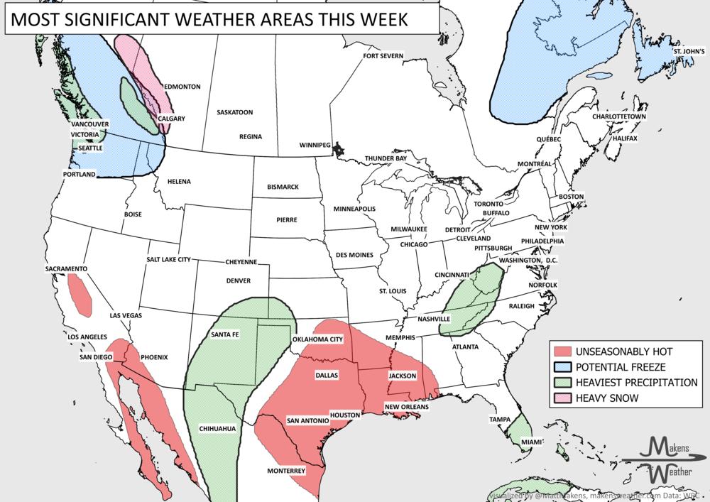
Pacific tropical moisture will drive one of the bigger weather stories this week as it gets pulled north into a slow-moving storm over the Southwest. New Mexico and western Texas face the greatest flash-flood threat early in the week, before heavy rain expands across the Southern Plains, Central Plains and Midwest. Some areas could pick up 3 to 6 inches of rain, with locally higher totals. The wet pattern won’t end quickly either, with the threat gradually shifting east toward the Mississippi and Tennessee Valleys later this week and into the weekend. Meanwhile, the Nor’easter affecting New England is winding down, while late-season heat hangs on across southern Texas and eventually builds across parts of the West.