Weekly Weather Watch: Saturday, August 19th, 2023
Normally this goes out Sunday, but given the hurricane, I figured I better get this to you a bit earlier than normal. Here are the weather topics to stay away of this week.
HEADLINES:
The West braces for flooding and wind as the current hurricane is forecast to bring tropical storm characteristics to California.
A cold front crosses the Great Lakes and spreads some impact toward New England early this week.
Florida catches increased rain from a surge in tropical moisture.
The oppressive heatwave continues and will spread in the Central and Northern Plains and Midwest early this week.
TROPICS:
Who is this hurricane? That’d be Hilary, which formed in the Pacific Ocean near Mexico. Why is this different from the last several storms in the region? Hilary is a very strong hurricane and is the first in ages to threaten Southern California, where there are the first ever issued Tropical Storm Warnings for the LA and San Diego areas. When was the last time this area had a tropical storm? Long Beach was hit in 1939, which killed 100 people. What are they expecting? Flooding and damaging winds from Southern California into parts of Nevada are the greatest worry.
TOO MUCH WATER, OR NOT ENOUGH:
Although the Southwest will have too much water all at once, the atmosphere will balance this by reinforcing the ridge over the Southern and Central U.S. This ridge is responsible for all the heat and drought expansion. However, along the edge of that ridge is where we will find the better rainfall, or too much as the case may be in California, where the odds of receiving three inches or more is extremely likely. Remember, many of these deserts will be setting record rainfall totals due to this tropical system.
Now, for those of us hoping against flooding and just needing some moisture there’s a ring around the high pressure area creating chances for lower totals. I’m showing you the odds of receiving at least one inch during the next ten days here:
HOTPLATE:
As Hilary impacts the West, the atmosphere maintains a balance by increasing the ridge of high pressure over the Plains and East. Why this matters? Dangerous heat will be hitting several states this week and next. Is this record-setting? Here is a map showing spots that will potentially set net daily record temperatures this week.
Records to be threatened Sunday and Monday
The heat zones from this week to next shift farther south as shown here:
Extreme heat for next week
UNTIL THE NEXT TIME:
Heat will remain a topic in next week’s weather brief, and the tropics have been getting more active, too. So, details on that week’s hazards in your next Weekly Weather Watch. If you like these newsletters, please share them with your networks using the red app links below the subscribe box. Have a great week, Matt.

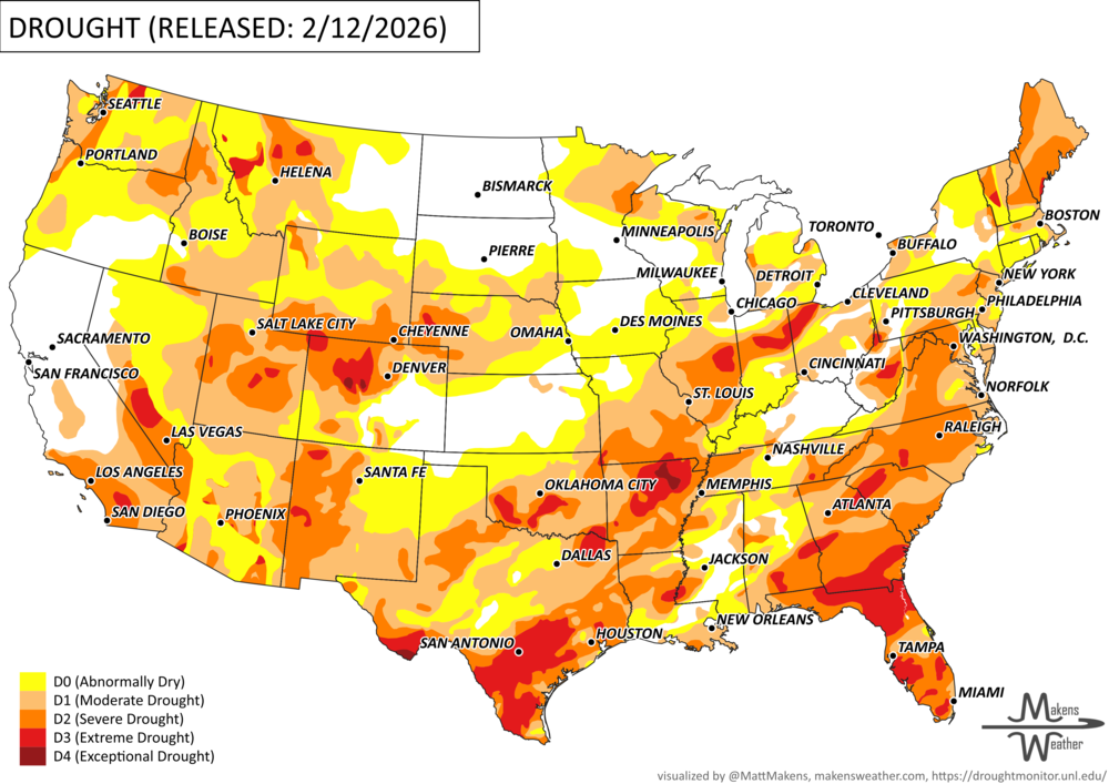
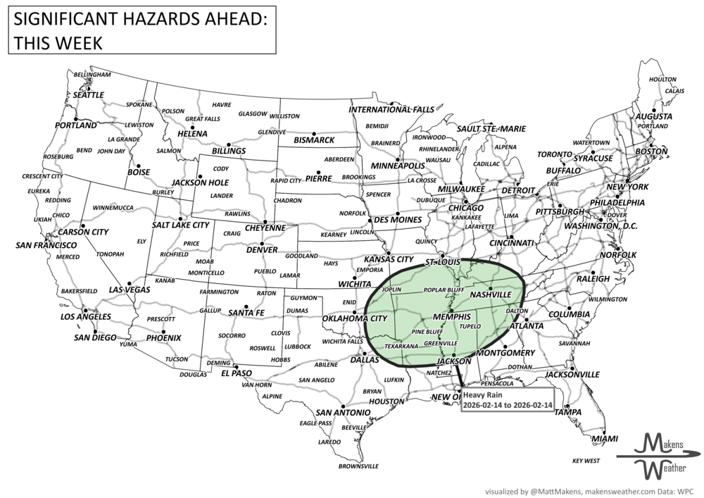
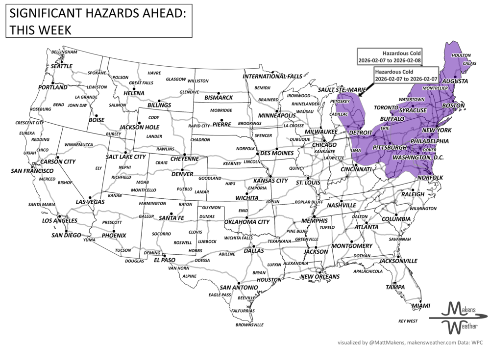
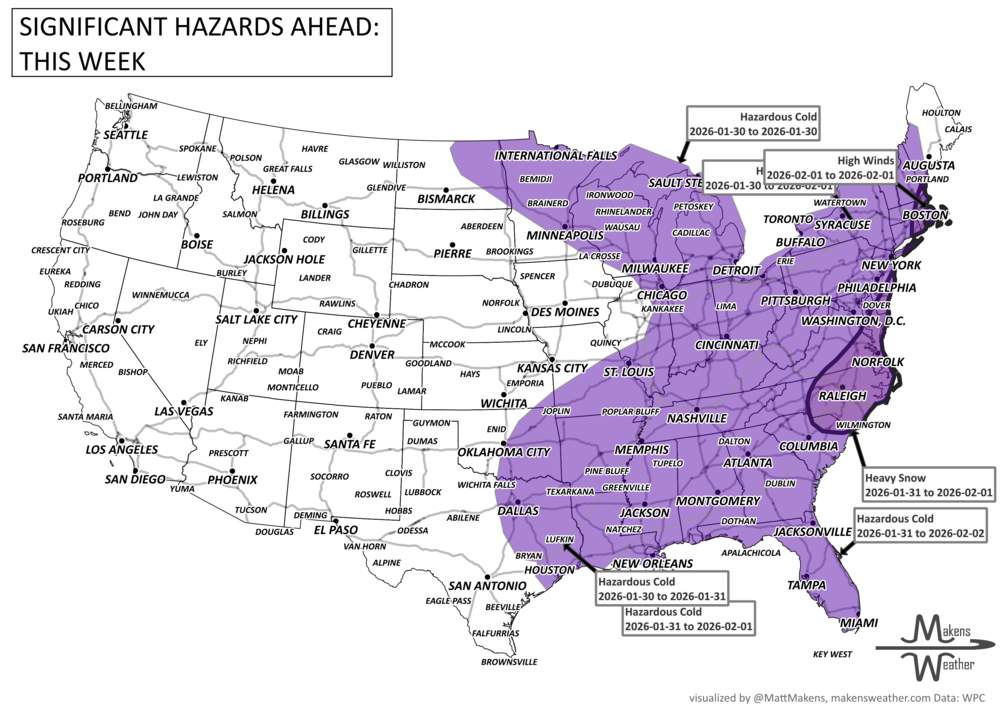
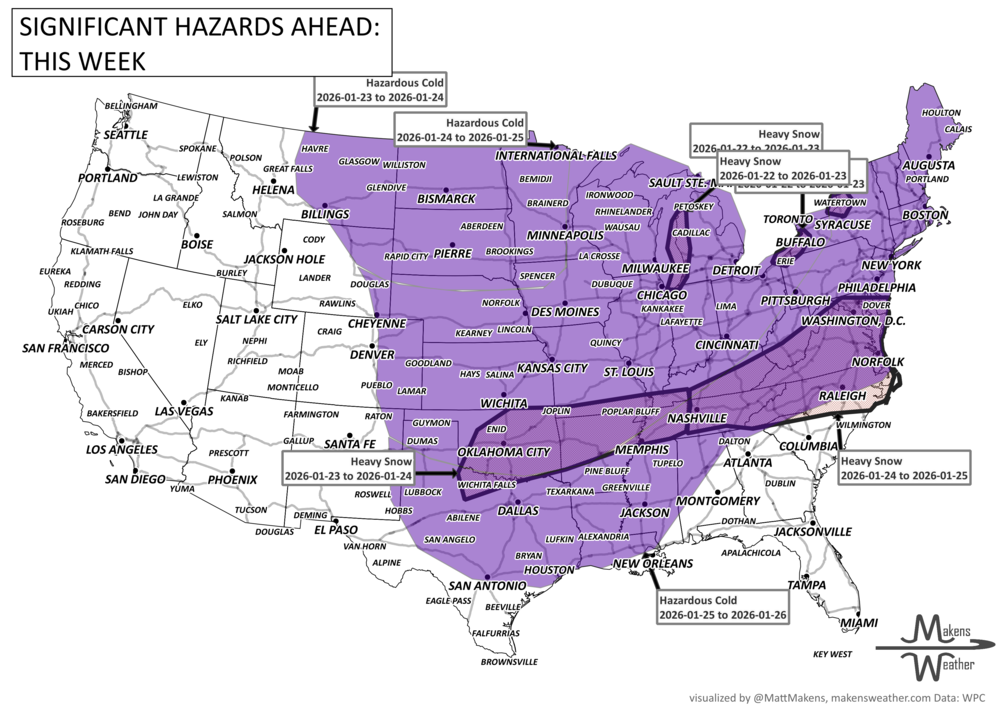


A sharp weather contrast is setting up across the country this week. Critical fire weather conditions are developing across parts of the central and southern High Plains, while repeated Pacific storms continue to bring heavy mountain snow to the West. Meanwhile, a strengthening system will spread snow and mixed precipitation from the Northern Plains to New England, and a potential coastal storm this weekend could bring wind and rain — or snow — to parts of the Mid-Atlantic and Northeast. Temperatures will swing dramatically as much colder air settles into the East by early next week.