
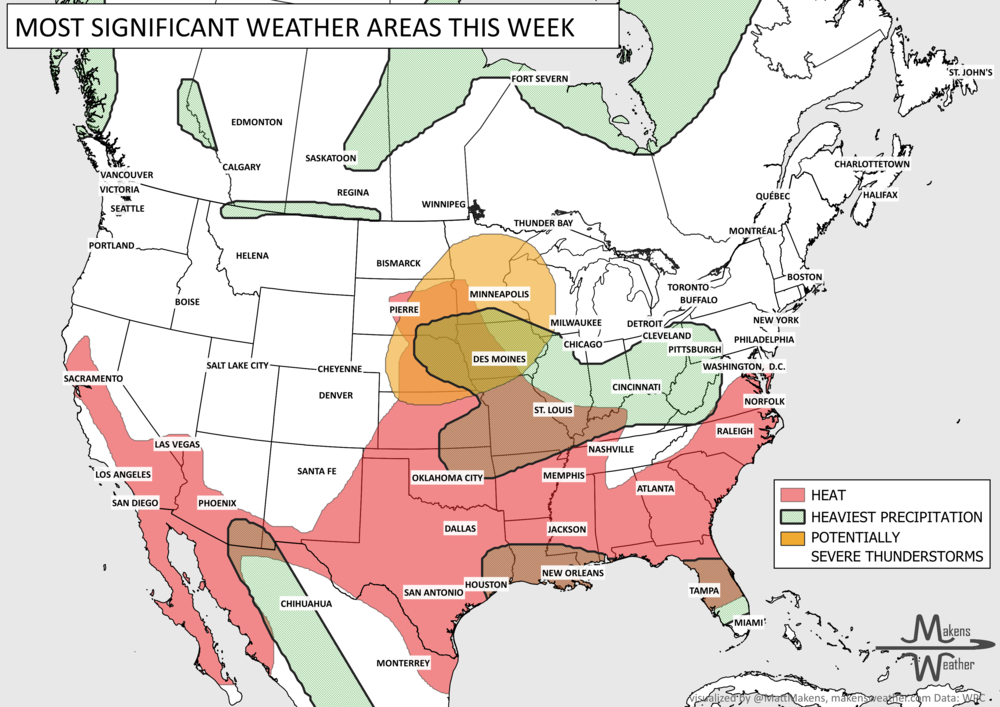
Weekly Weather Watch: Tuesday, February 11th, 2025
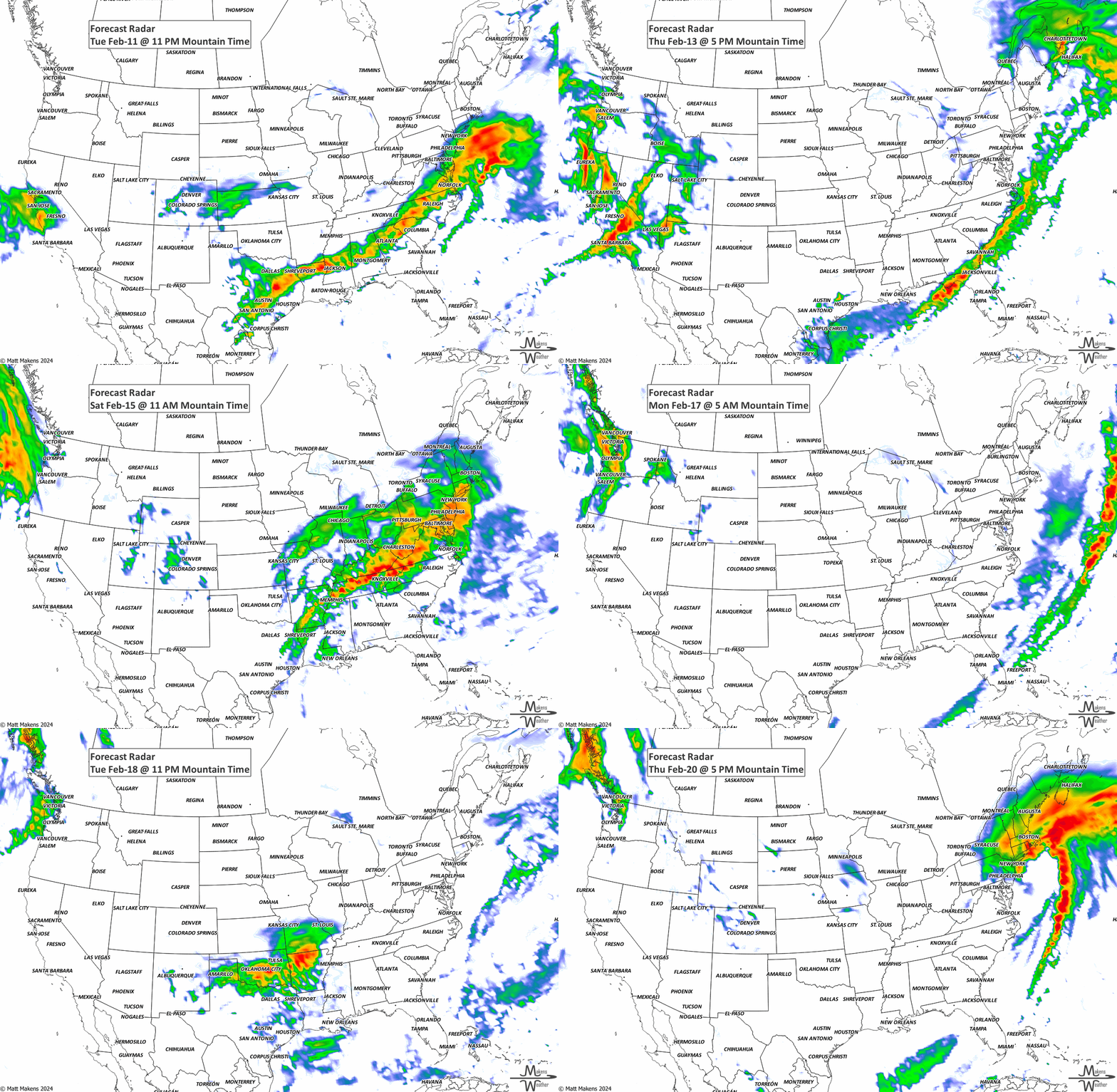
A couple of strong winter storm systems are crossing the country. Through Wednesday, heavy snow and ice to the Ohio Valley into the Mid-Atlantic, ice for the Central Appalachians, and heavy snow and ice to the Central Plains. Heavy rain will result in flash and river flooding in the Lower Mississippi and Tennessee Valleys. Canada remain cold to the West where the heaviest snow will be in the mountains but also some heavy snowfall east focused on the Maritimes. Later this week, another very wet setup for the West arrives.
Members, you should have received your weekly update yesterday. We discussed the ongoing potential for cold in the outlook for February - you can access that here.
HEADLINERS:

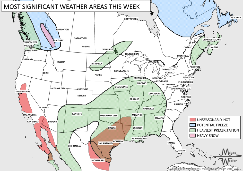
Moderate risk of heavy precipitation for the Lower Mississippi and Tennessee Valleys, Southeast, and Carolina Piedmont, Wed-Thu, Feb 19-20.
Slight risk of heavy precipitation for much of the southeastern quarter of the CONUS, Wed-Thu, Feb 19-20.
Slight risk of heavy precipitation for the Pacific Northwest, Tue-Fri, Feb 18-21.
Slight risk of heavy snow for the northern Cascades, Tue-Fri, Feb 18-21.
Slight risk of heavy snow for the northern Rockies, Tue-Fri, Feb 18-21.
Slight risk of much below-normal temperatures for northern New York and northern New England, Tue-Wed, Feb 18-19.
Slight risk of much below-normal temperatures from the northern Great Plains into the Upper Great Lakes region, Tue-Thu, Feb 18-20.
Slight risk of high winds for northern New York and New England, Tue, Feb 18.
Possible flooding for the Lower Mississippi and Tennessee Valleys, Southeast, and the Carolina Piedmont.

ON THE RADAR:
KEEP AN EYE TO THE SKY:

IN THE GAUGES:

GRAB A RULER:

RECORDS MADE TO BE BROKEN:

ARE YOU CIRRUS?!
On this day in history:
1899 A "Blue Norther" caused temperatures to plunge across Texas, setting a record low for the Lone Star State with -23°F in Tulia.
1935 The temperature of -17 at Braemar (Grampian), Scotland, was the coldest temperature ever measured in the United Kingdom. Also, on this same day, Africa's coldest temperature on record occurred at Ifrane, Morocco with -11 degrees.
The weather pattern is about to make a pretty sharp turn across the country. California starts the week with unusual October heat, including highs well into the 90s and even lower 100s in the Central Valley. Meanwhile, much cooler fall air has reached the Great Lakes and Northeast. The Gulf Coast and Southeast stay unsettled, and there’s that record to watch: a tropical depression is likely to develop over the Gulf this week and could strengthen as it moves northeast. If it becomes a hurricane after the 8th, 2026 will have the latest-first hurricane in the Atlantic Basin record.