


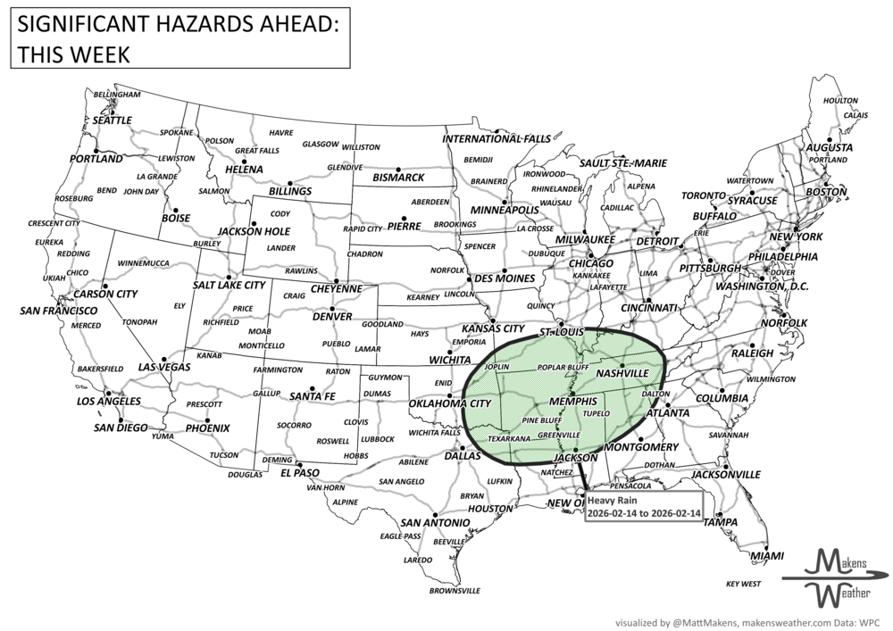

This week has quite weather contrast across the U.S. as record-breaking heat persists across central and southern Texas with highs over 100°F. Meanwhile, severe storms are expected from the Dakotas to Nebraska, and repeated rounds of thunderstorms may lead to flash flooding from the Southern Plains to the Northeast. Out West, a strong upper trough brings unusually cool temperatures and even late-season snowfall to the Rockies, with potential for over a foot at higher elevations. Locally heavy rainfall and flooding risks are expected across the Great Basin and northwestern High Plains. The heaviest precipitation across Canada will be for southeast Saskatchewan across southern Manitoba and for much of Quebec.
Read More
An active weather pattern is unfolding across much of the United States this week. Severe thunderstorms and flooding rains will develop from the Plains into the Midwest, while late-season snow and icy conditions affect parts of the Great Lakes and northern New England. Meanwhile, the Pacific Northwest faces heavy rain and mountain snow, and unusually warm spring temperatures continue across much of the East and Southwest.
Several storm systems will move across the country through mid-week and into the weekend, bringing a mix of severe storms, winter weather, heavy rain, and record-setting warmth depending on location.