Weekly Weather Watch: Monday, May 13th, 2024
What an amazing Northern Lights experience during the past weekend! I hope you were able to see them or enjoyed photo posts from elsewhere. Also, a belated Happy Mother’s Day.
In this week’s weather roundup, we have several headlines that will come to your feeds from the South and Southeast, where severe thunderstorms, flooding, and record-high temperatures are possible. Wet weather will lead to other headlines from the Central States and Central Canada Provinces, too.
Here’s a bullet list of those items that will make weather news:
Severe thunderstorms and flash flooding for the Gulf Coast Southeast through Tuesday. A second round of this type of weather will arrive on/near Thursday for these areas. (see storm animation below)
Severe thunderstorms with damaging wind and hail are possible in Alberta and Saskatchewan today.
Part of Florida and Texas will likely see several days with highs setting daily records and heat indices reaching as high as 105-115 degrees.
Beyond the next several days via WPC:
Slight risk for excessive heat across portions of the Southern Plains and Lower Mississippi Valley, Tue-Mon, May 21-27.
Slight risk for excessive heat across the southern Florida Peninsula, Tue-Mon, May 21-27.
Slight risk for heavy precipitation across portions of the Great Plains, Mississippi, Tennessee, and Ohio Valleys, and Southeast, Tue-Sat, May 21-25.
Rapid onset drought risk across the southern Florida Peninsula.
STORM ANIMATION FOR THIS WEEK:
SEVERE THUNDERSTORM AREAS FOR THE NEXT TWO DAYS, SOUTHERN ALBERTA AND SASKATCHEWAN COULD ALSO HAVE SEVERE WEATHER.
WET WEATHER AND ISOLATED FLOODING FOR PARTS OF THE MIDWEST AND SOUTH:
The west is dry, but check out the Southeast and Central Canada!
That’s a bullseye of more than half a foot of rainfall for parts of the Gulf Coast! Moisture exceeding one inch (25 mm) is possible across Central Canada.
In terms of snow, head to the Canadian Rockies to find much that is notable.
HOT TEMPERATURES FOR THIS WEEK:
High heat indices after this week’s rains will make the heat “excessive” for parts of the South.
That’s your weather briefing for this week. For those in Colorado, I’ve just posted an update to Weather5280 for you. If you need something specific, holler at us! Click here to email.

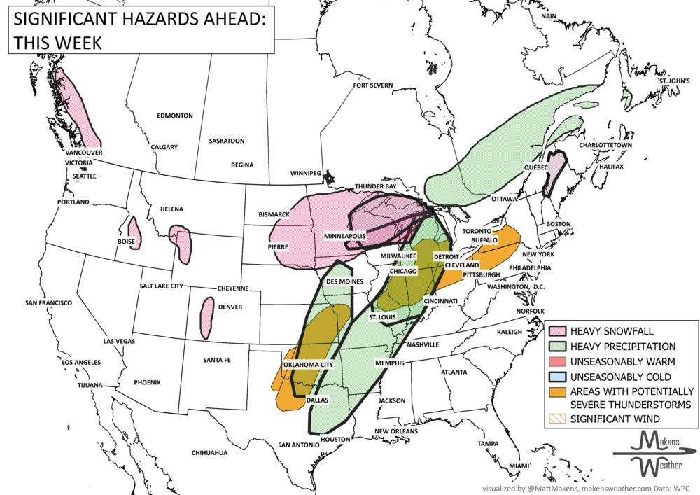
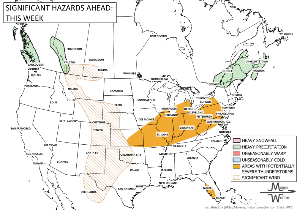
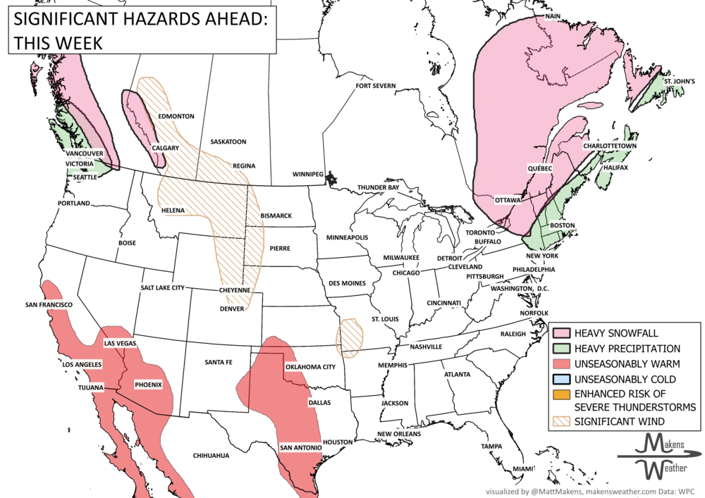
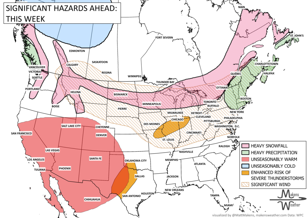
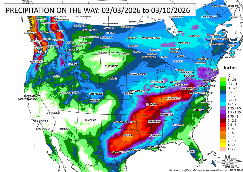


A drawn-out storm pattern will keep much of the country active through the first week of April. A slow-moving front stretching from the Great Lakes into the Plains will separate late-season snow and ice to the north from heavy rain and severe thunderstorms to the south. The setup brings the greatest impacts to parts of the Midwest, Ohio Valley, Southern Plains, Mississippi Valley, and eventually the East Coast, while the West sees mountain snow and then a warming trend heading into the weekend.