


Weekly Weather Watch: Tuesday, September 3rd, 2024
In today’s weather briefing, looking out at the week ahead, we have heat building across the West, some heavy rainfall from the southern Mississippi to the Southeast, and a possible first frost/freeze for the Upper Midwest.
HEADLINERS:

Hazards for this week:
Heat and record-setting temperatures across the West
First frost/freeze possible for the Upper Midwest and record cold for the East.
Heavy rainfall for the Southeast.
For Canada, air quality from wildfire smoke remains the main impact. Heavy rainfall will hit coastal B.C. and parts of Quebec. A bit of snowfall again for the Canadian Rockies.
Hazards for next week:
Moderate risk of excessive heat for the Northern High Plains, Tue-Thu, Sep 10-12.
Slight risk for the Northern Rockies and the Northern Plains, Tue-Fri, Sep 10-13.
Slight risk of heavy precipitation near the Gulf and Southern Atlantic coasts, Tue-Fri, Sep 10-13.
Slight risk of high winds over the Northern and Central High Plains, Tue-Fri, Sep 10-13.
Risk for rapid onset drought for portions of the Ohio and Middle Mississippi Valley.
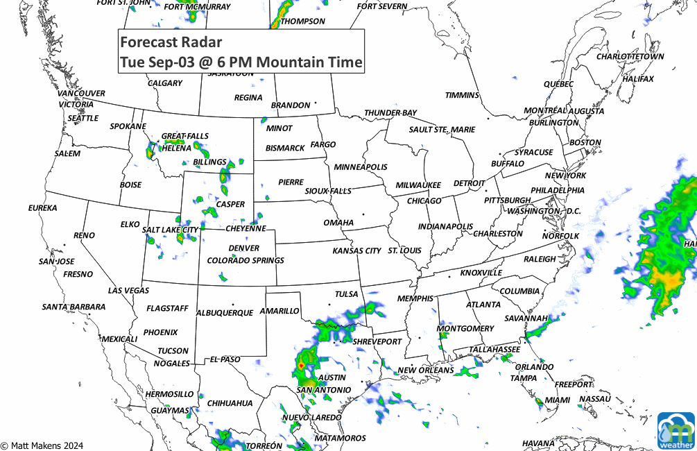
ON THE RADAR:
Animation of the precipitation expected this week. For Colorado, a hint of snow is possible in RMNP, and the local forecast has been posted to Weather5280.com.
IN THE GAUGES:
Total precipitation for the week.

RECORDS MADE TO BE BROKEN:
Potential record highs this week followed by the record lows.


Tropical Tidings:
There are three areas to watch for potential development this week. The three are indicated with the yellow “X.”

ARE YOU CIRRUS?!
It is estimated that 100 lightning flashes occur each second somewhere on the Earth, adding up to nearly 8 million lightning flashes per day.
A busy stretch of summer weather is underway. The greatest concern through midweek will be severe thunderstorms capable of damaging winds, large hail, isolated tornadoes, and flash flooding from the Dakotas into Minnesota and later the Upper Midwest. At the same time, dangerous heat continues across the Southeast, while a strengthening ridge will send temperatures soaring across the Northern Plains and Central U.S. heading into the weekend. Meanwhile, the Southwest monsoon will gradually become more active, bringing increasing rounds of afternoon and evening thunderstorms. In British Columbia and Quebec, smoke is causing or expected to cause poor air quality and reduced visibility.