

Weekly Weather Watch: Tuesday, January 21st, 2025
Arctic air is settling over the eastern U.S., bringing a major winter storm with heavy snow, sleet, and freezing rain from south Texas all the way to the eastern Carolinas. Meanwhile, in southern California, strong Santa Ana winds and low humidity are creating dangerously high fire risks, with critical to extremely critical conditions.
Members, you should have received your weekly breakouts via email yesterday.
HEADLINERS:

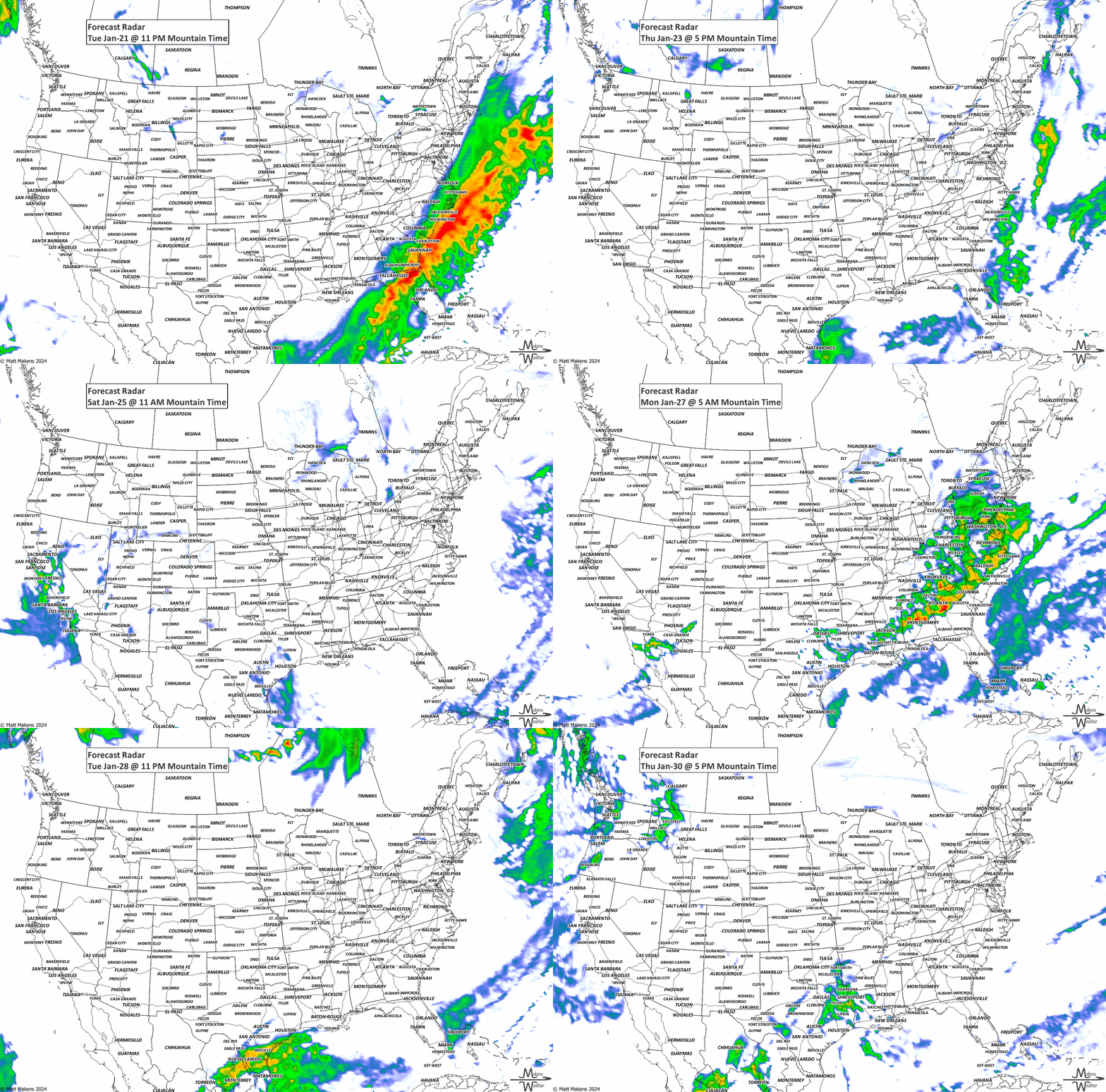
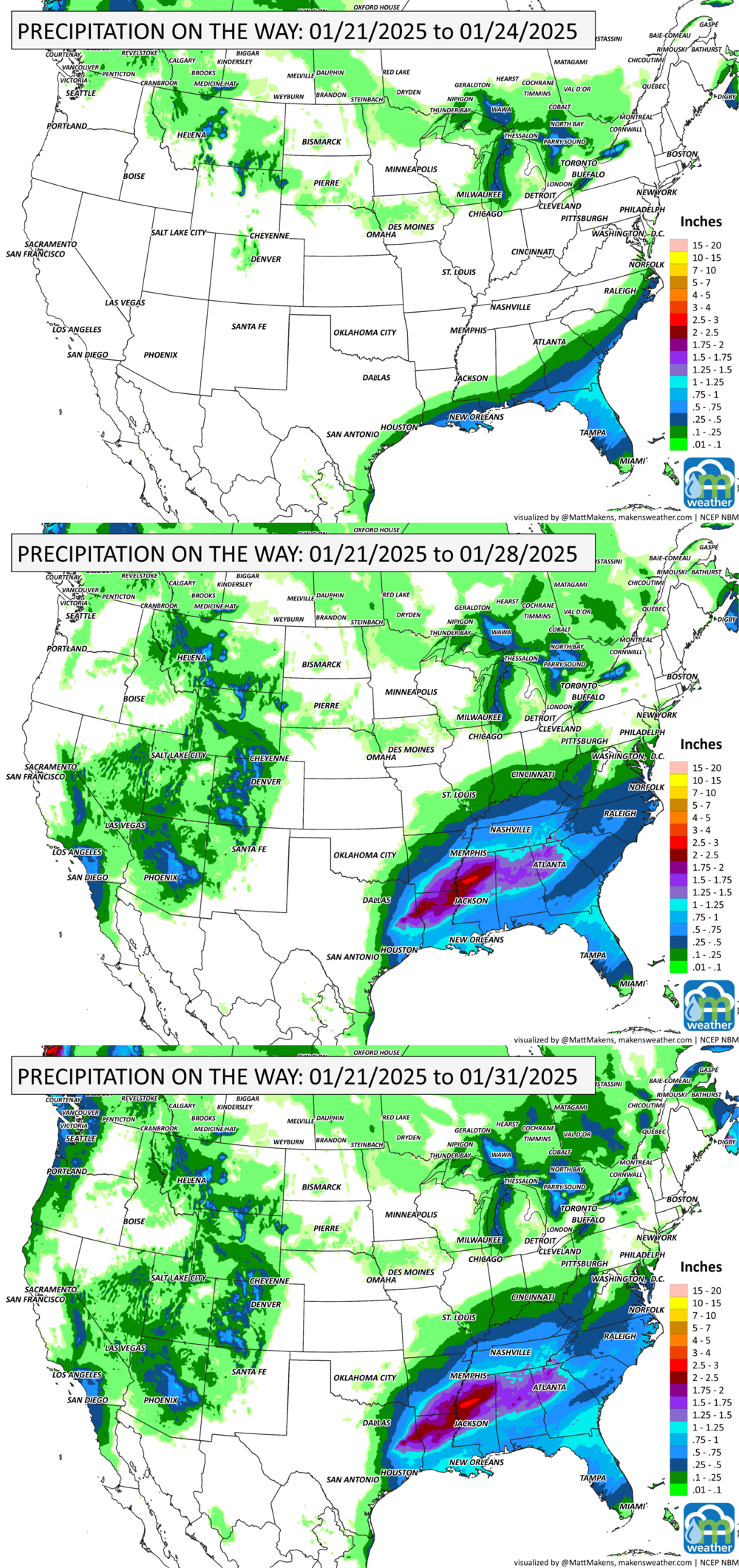
By Friday, the system over the eastern U.S. will move offshore, clearing the East Coast by the weekend. This will bring a break from the bitterly cold temperatures that have gripped the East and South (many records possible first). Meanwhile, a disturbance moving into the northern Rockies will split, with one part heading through the northern U.S. and another dropping southward, possibly forming a low-pressure system near California and the Southwest. This system should stick around into next week, bringing some much-needed rain to drought-stricken areas in southern California, which have been battling severe wildfires and snow to Arizona. Additionally, a front moving through the Mississippi and Tennessee Valleys could enhance rainfall in parts of the South by Sunday.
ON THE RADAR:
IN THE GAUGES:
GRAB A RULER:
Check out the Gulf Coast! Pockets of heavy snow like a patchwork spread across the mountain ranges from Canada to New Mexico, over the Appalachians, and areas of heavy lake effect snow in the Great Lakes region, too.

RECORDS MADE TO BE BROKEN:

ARE YOU CIRRUS?!
On this day in history:
1993 Winds gusted to an incredible 176 mph and sustained winds were measured at 122 mph in Lake Tahoe, CA, as a major Pacific low-pressure system moved ashore.
1985 The lowest temperature recorded in North Carolina was -34 at Mt. Mitchell.
1985 President Reagan's second Inauguration Day was the coldest Inauguration Day in history as cold temperatures and wind combined to produce a wind chill reading of -30.
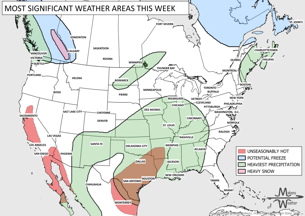
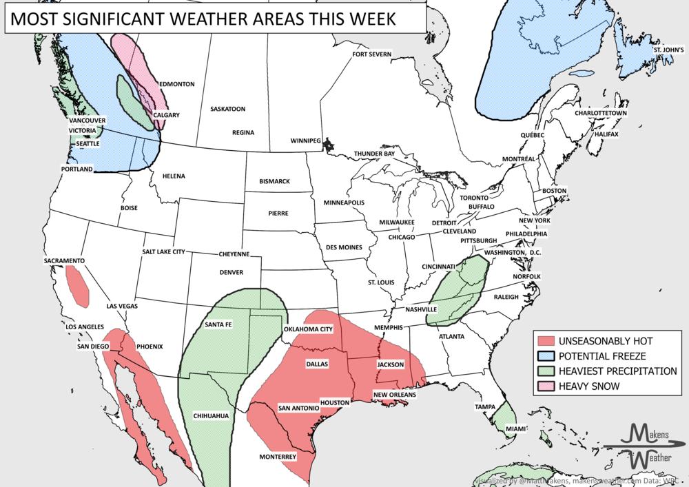
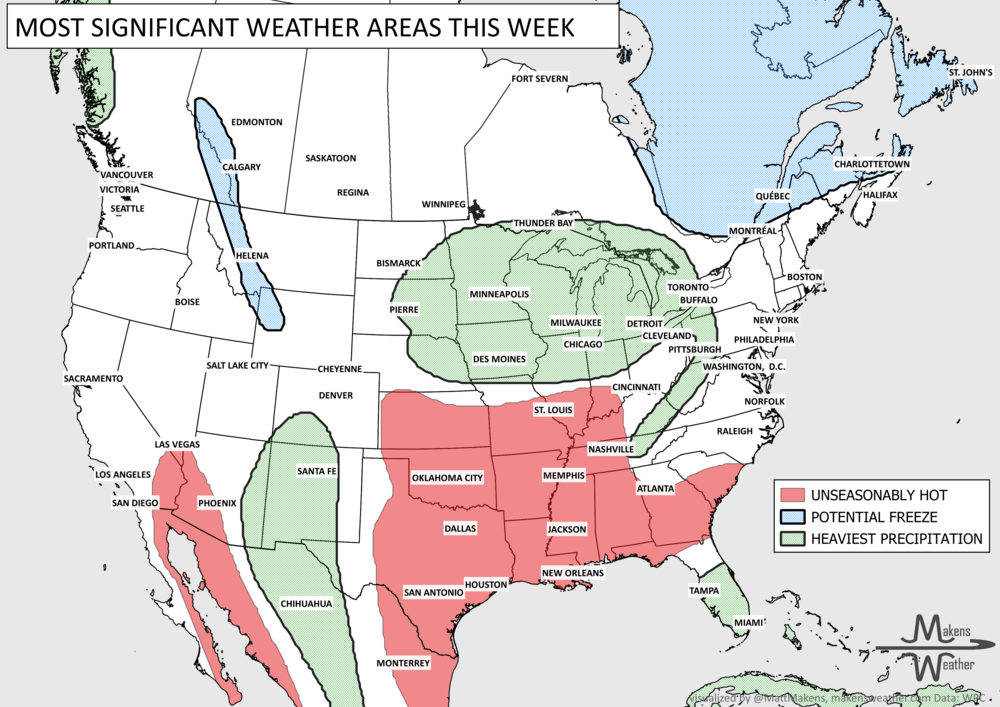
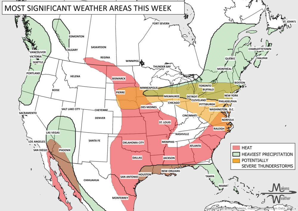
Pacific tropical moisture will drive one of the bigger weather stories this week as it gets pulled north into a slow-moving storm over the Southwest. New Mexico and western Texas face the greatest flash-flood threat early in the week, before heavy rain expands across the Southern Plains, Central Plains and Midwest. Some areas could pick up 3 to 6 inches of rain, with locally higher totals. The wet pattern won’t end quickly either, with the threat gradually shifting east toward the Mississippi and Tennessee Valleys later this week and into the weekend. Meanwhile, the Nor’easter affecting New England is winding down, while late-season heat hangs on across southern Texas and eventually builds across parts of the West.